
Tips to Utilize Maps for Advanced Geospatial Analysis in Academics


Geospatial analysis is often an overlooked tool when it comes to gathering intelligence in the academic and education sectors. Geospatial data can provide valuable insights when it comes to students’ academic performance and help understand the relationship between demographics and educational excellence.
The use of geographic information systems (GIS), particularly data such as population density and land use patterns, has been increasing in recent years by academic researchers. Here’s everything you need to know about geospatial data and its applications in the academic industry.
What Is Geospatial Analysis?
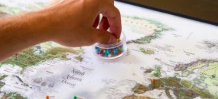
Geospatial data or geodata is information related to locations on the Earth. You can visualize anything from people to businesses, objects, and events on a map within a specific geographical area determined by its latitude and longitude.
Geospatial analysis involves the collecting, processing, and visualization of geospatial data in a way that unlocks new information for you. Typically, it is used to demonstrate and predict how people, objects, and phenomena interact within a space and to provide insights for business or research applications.
Geospatial analysis is used by a very wide range of industries, from logistics to urban planning, environmental protection, consumer products, travel, construction, and more. It has utility for any application that can benefit from human and geographical data.
Benefits of Geospatial Analysis
Geospatial analytics provide a powerful way to better understand our world and its applications are nearly endless. Here are just some of the ways it can improve outcomes for you.
-
Mapping
Geospatial data is key to mapping applications that basically visualize the data on a map to provide different insights. This can include location tracking and routing for logistics companies as well as navigation, weather data, and more.
Tools, such as Azure Maps Creator, can help you visualize all kinds of geographical data on a map to level up your solutions and deliver quality customer experiences.
-
Traffic Flow Patterns
Geodata can help track the movement of people, objects, and resources in real time. This makes it invaluable from the standpoint of facility operators, such as mall or warehouse managers, as well as managers of other premises. It’s also a very useful attribute for disaster relief organizations to track the movement of people and supplies in order to better direct aid efforts.
-
Demographic Dispersion
Geospatial data offers you excellent location-based insights on people, including their demographic attributes, that you can use for business and public applications. For instance, companies can use it to better understand their customer base, figure out which areas are underserved, and discover new business opportunities.
-
Better Decision Making
By correlating geographic data to other findings, you can unearth new connections and relationships. Geodata can improve decision-making for everyone from businesses to public authorities and researchers.
-
Environmental Conservation
Geodata can prove key to helping preserve environments and usher in sustainable growth for businesses and communities. a GIS can help you track environmental changes in a place over time and understand where conservation efforts need to be focused on an urgent basis. This data can be integrated into different tools and products so that it’s a tangible factor in decision making.
Tools and Techniques for Applying Geospatial Analysis
 There are a lot of ways you can leverage geospatial data to make it useful and widely applicable.
-
Vector Processing Tools:
Most geodata is in what’s called “vector” format which helps in representing points, lines, and polygon features. In terms of physical features, this could mean destinations, such as schools or parks (points), lines such as neighborhood or county lines, and polygons that describe, for instance, voting or polling data.
-
Remote Sensing Tools:
Images captured from satellites, airplanes, as well as unmanned aerial vehicles (UAV) can contribute to geospatial analysis.
-
Mapping Tools:
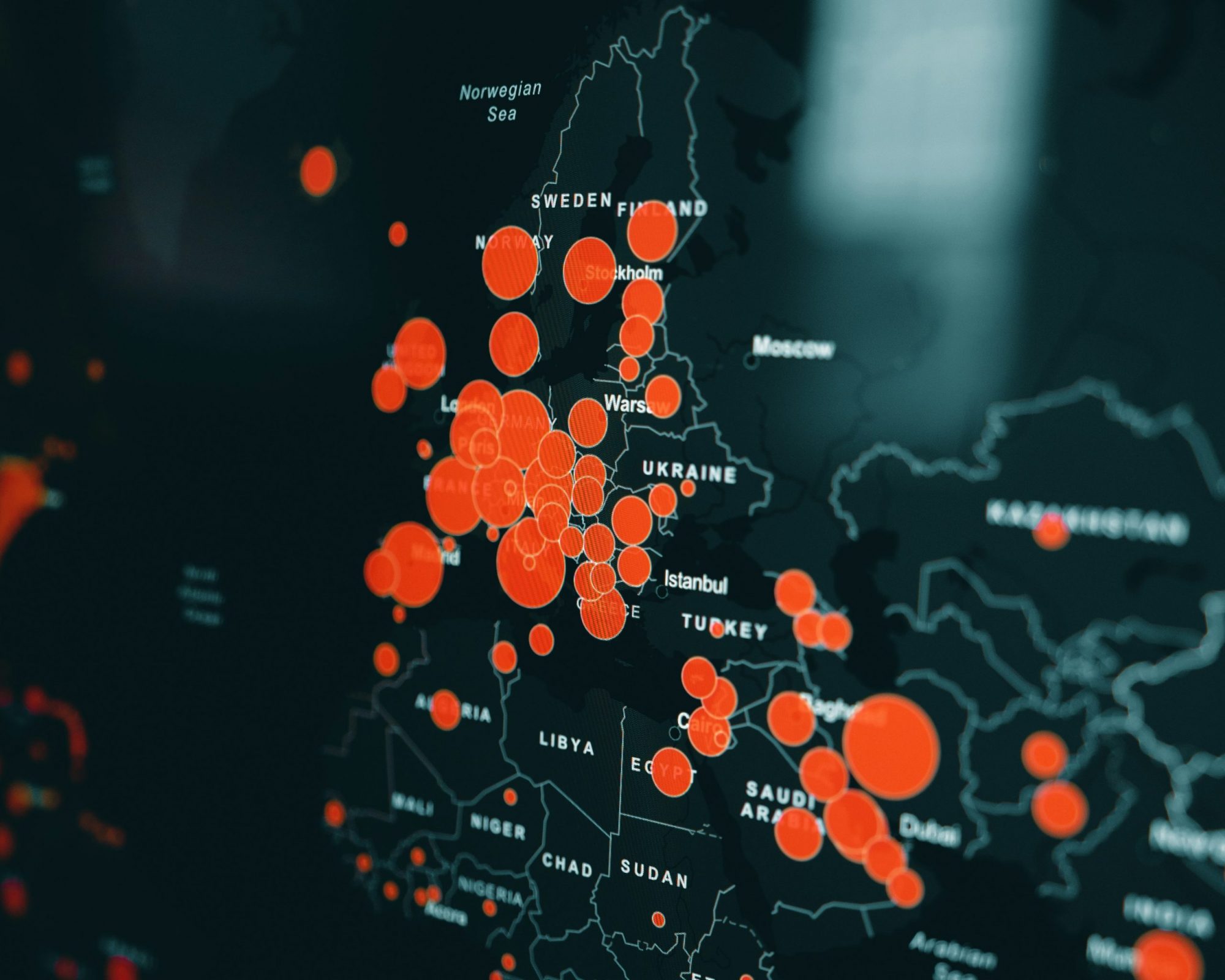
There is a very wide range of visualizations available to represent geospatial data. You can essentially use custom mapping tools to create your own map that’s populated with the geographic data you want, whether that’s specific objects, weather, people, or more. Some of the common types of maps include point maps, cluster maps, choropleth map (using shading to demarcate different regions), heat map, topographic map, path maps, spider maps, and more.
-
Analytical and Predictive Models:
These help you analyze location data to predict future possibilities. For instance, they can analyze trends, such as the adoption of green energy systems, and extend that trend over time to show you which areas are likely to see a demand for those products in the future.
Tips for Implementing GIS in Academics
While academic research is a relatively nascent field for GIS application, it shows tremendous promise. Here are a few ways you can use geodata in this space.
-
Geostatistics
It has been a longstanding effort to analyze the correlation between academic performance and socioeconomic status. In the past, researchers have used geographical surveys and U.S. administrative data to discover that factors like median income, family structure, and parental education have a significant influence on students’ academic success. This means that students’ performance in each school could well be driven by geographical variation and offers administrators insights on where to boost educational efforts.
-
Descriptive Maps
Typically, a school’s catchment area very closely surrounds the school’s location. By plotting students’ homes on a map, it can help determine how well or otherwise an area is being served educationally. Are students having to travel too far to attend their classes? Are students from specific spots in a school’s catchment area being left out due to unidentified reasons? Descriptive mapping can help answer these questions and more.
-
Experimental Analysis
Geography can prove a powerful tool in designing quasi-experimental studies and models around aspects such as college choice. How can educators and administrators broaden a college’s appeal and increase the reach of tertiary education in general. By merging georeferenced data sources with existing higher education databases, you can explore new insights that can help improve academic credentials for citizens.
It’s important to remember that geospatial analysis is more than just data; it’s how you use that data, including via the algorithms and analytical models you use to process it, as well as the kind of visualizations you apply to it to make it more accessible. With an inventive approach, you can do amazing things with geodata to support academic research and performance.
Disclaimer: The opinions/views expressed in this article exclusively represent the individual perspectives of the author. While we affirm the value of diverse viewpoints and advocate for the freedom of individual expression, we do not endorse derogatory or offensive comments against any caste, creed, race, or similar distinctions. For any concerns or further information, we invite you to contact us at academy@enago.com
- By clicking here, I state that I have read and understood the terms and conditions mentioned above.